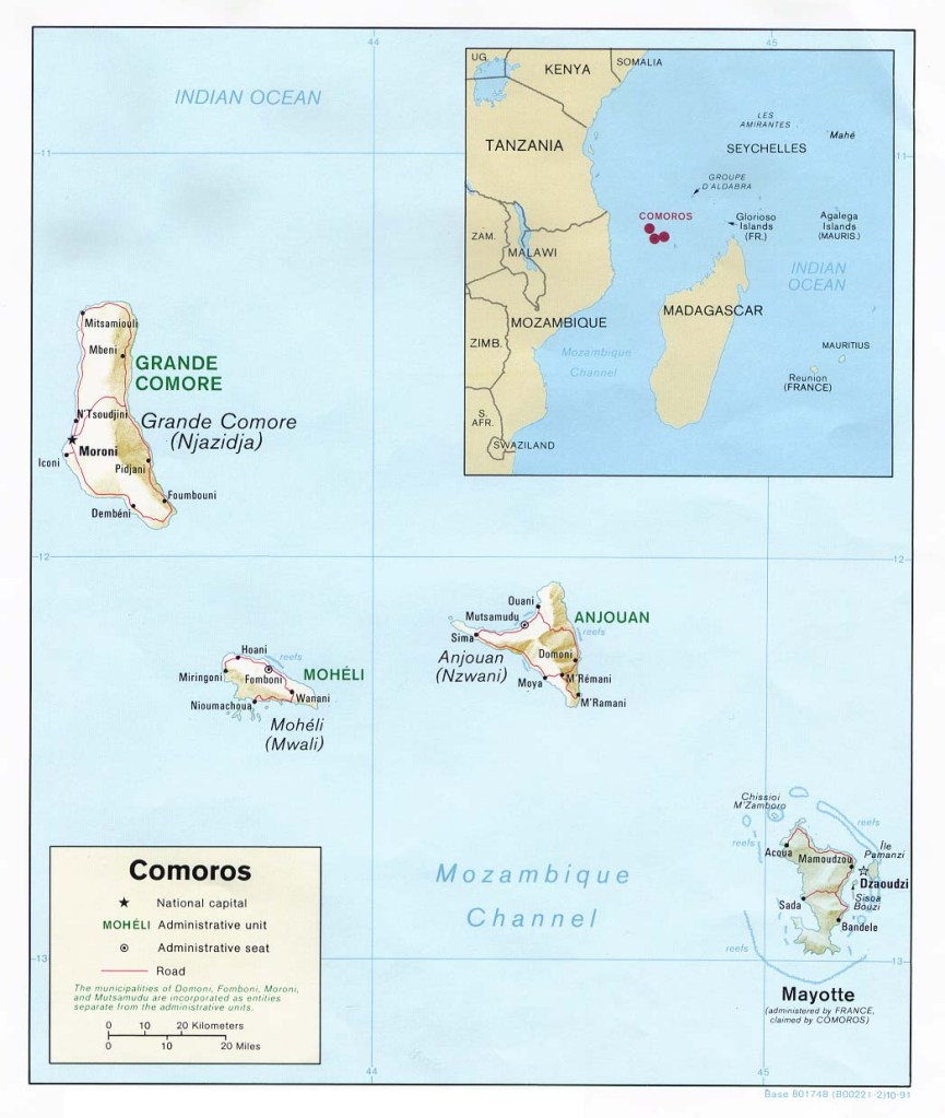
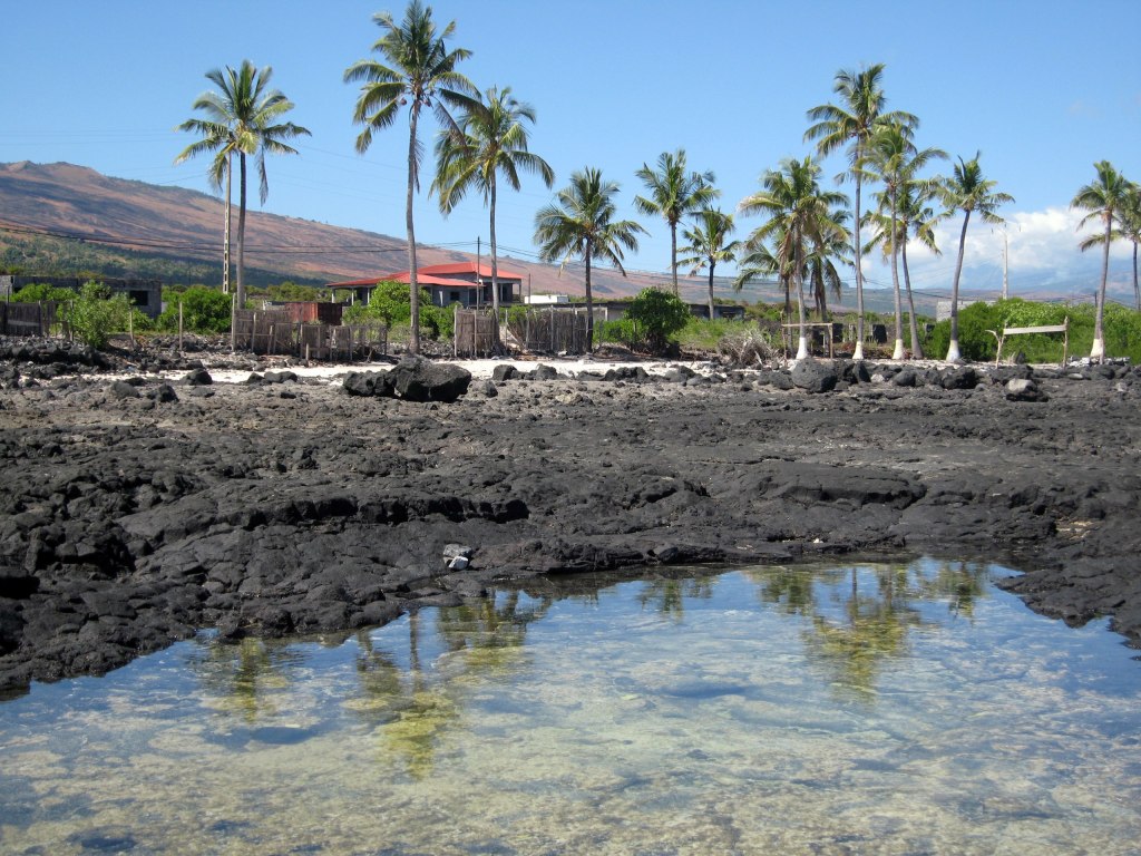
The Comoros is a volcanic archipelago that formed islands from the Indian Ocean floor. The three major islands are known as Ngazidja (Grande Comore), Ndzuani (Anjouan) and Mwali (Mohéli). These islands are known by their official Comorian language names, but to the international community by their previous French names in parenthesis.
These islands are located in the Mozambique Channel and at 719 square miles (1,861 km), it is one of the smallest countries in the world. The Comoros also has claim to 320 km2 (120 sq mi) of territorial seas.
Ngazidja
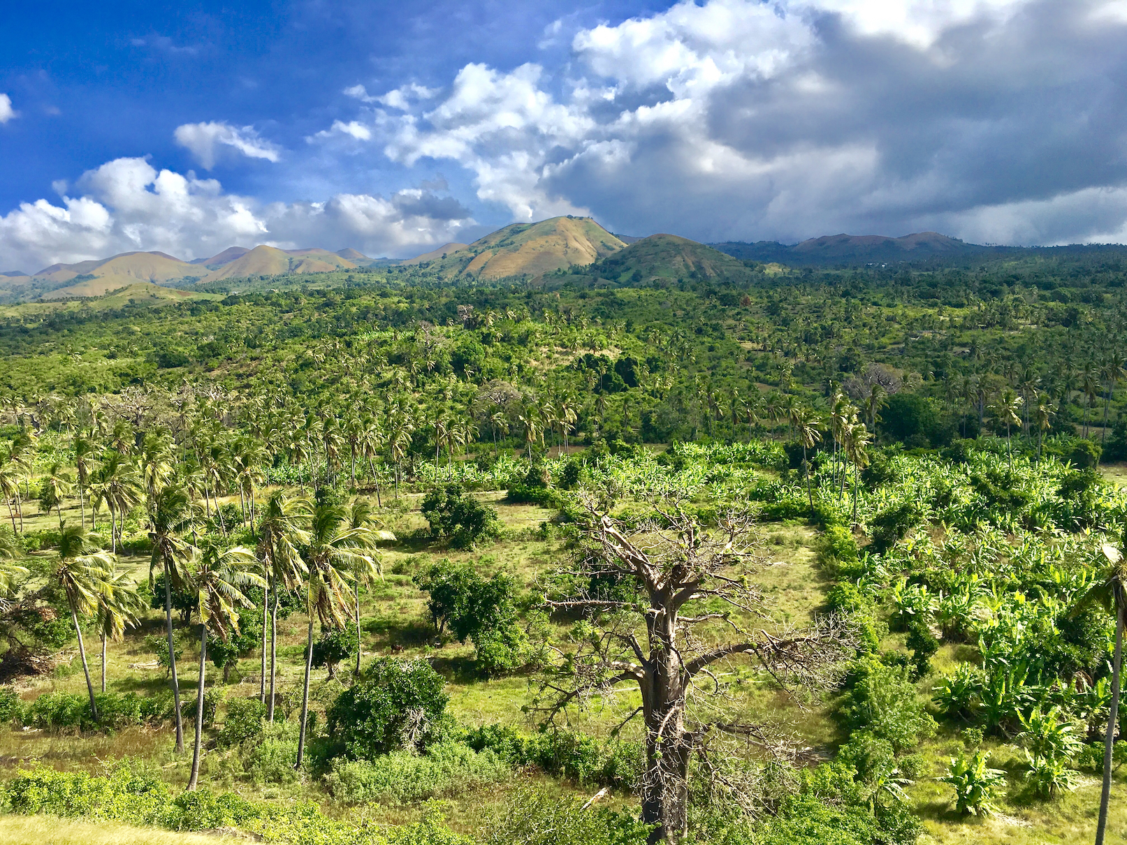
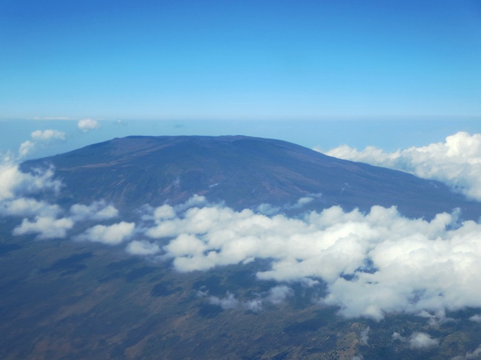
Ngazidja (Grande Comore) is the largest and loftiest island. It rises near its southern end in an active volcano, Mount Karthala, which, at 7,746 feet (2,361 metres), is the country’s highest point. Karthala has erupted more than a dozen times in the past two centuries. (1)
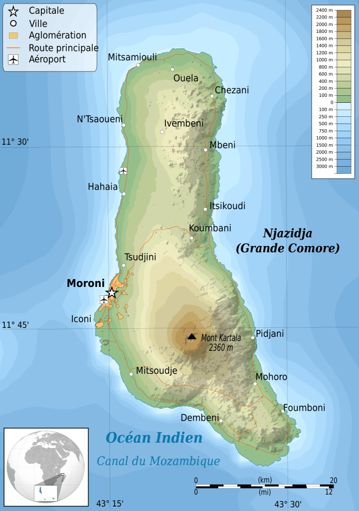

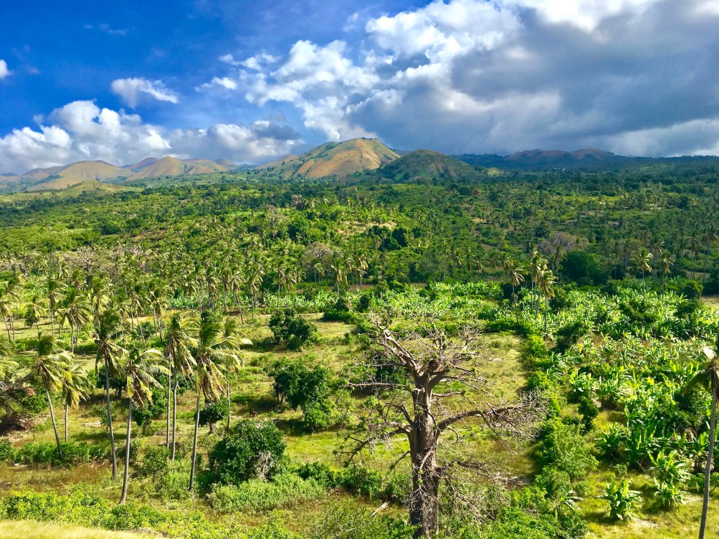
On this island is also the highest point in The Comoros: Mount Karthala, at 7,746 feet (2,361 metres) It is one of the most active volcanos in the world, erupting about every 11 years. Its last eruption in 2005 fortunately left no human casualties.


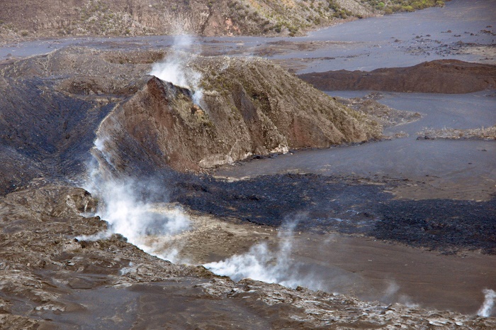

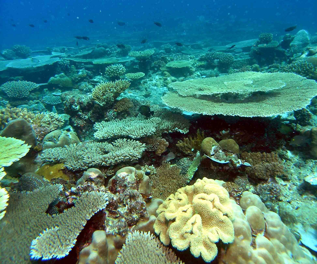
Cr. for all the volcano photos: alluringworld.com
HERE is a great video by CNN’s Inside Africa where you can see an excursion into the volcano. (If you can’t click on the the video, look in the small thumbnails at the bottom, click on the one to the furthest left.)
North of Mount Karthala is a wide plateau averaging 2,000 feet (600 metres) in elevation. The surface is generally rocky and the soils shallow. There are no perennial streams, and the coast, without large inlets, is ill suited for shipping. (1)
Ndzuani
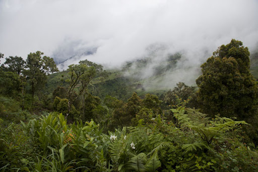
Ndzuani (Anjouan) is an island that resembles a triangle caused by three mountain chains: Shisiwani, Nioumakele and Jimilime. These emanate from a central peak called Mount Ntringui that reaches an elevation of about 5,200 feet (1,580 metres). Although the soil cover is good, most of it has been cleared for timber harvesting, grazing land or harvesting.

Fortunately there is a preserved area: The Mount Ntringui National Park established in 2010 that covers an area of 79.14 km in the center of the island.This park includes Mount Ntringui, Anjouan’s highest peak, as well as Lake Dzialandzé, a crater lake that is Anjouan’s largest lake, and the Moya Forest, Anjouan’s largest remaining forest. (2)


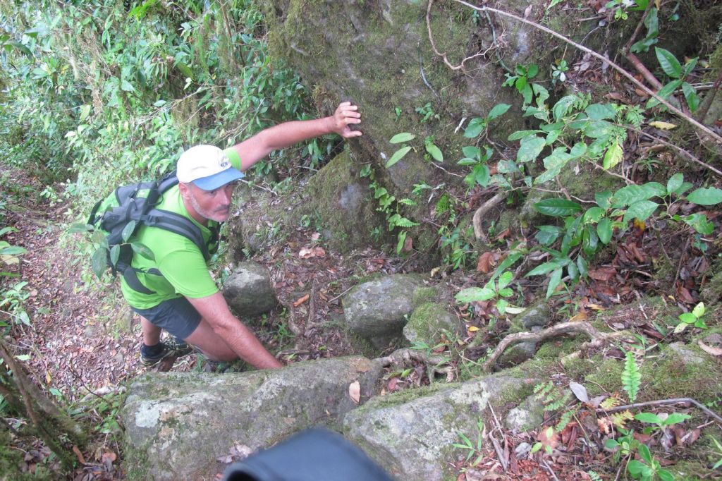
Trekking this mountain is not easy, read the great descriptive account of a man who did it with a guide HERE.
The main town in this island is Moutsamoudou and it was modernized with port facilities in the 1980’s. (1)
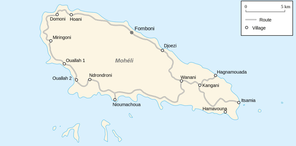
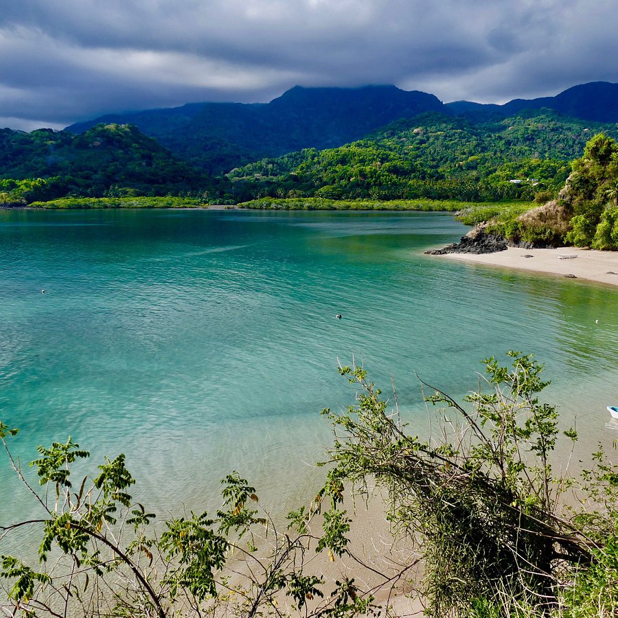
Mwali
Mwali (Mohéli) is the smallest island of the group. It is composed largely of a plateau that averages about 1,000 feet (300 metres) in elevation, the island ends in the west in a ridge reaching more than 2,600 feet (790 metres) above sea level. about 75% of this island comprises Mohéli National Park. This park has an Important Bird Area (IBA) by BirdLife International because it supports rare populations of birds only found here.

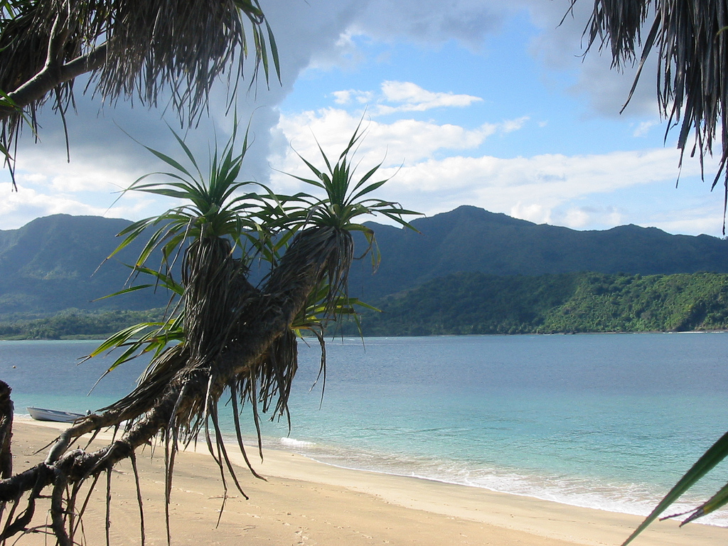
In this island the place most visited by tourists is call Laka Lodge. This is their video promoting Mwali:
Glorioso Islands
.The Comoros also lays claim to the Îles Éparses or Îles éparses de l’océan indien (Scattered Islands in the Indian Ocean) – Glorioso Islands, comprising Grande Glorieuse, Île du Lys, Wreck Rock, South Rock, Verte Rocks [fr] (three islets) and three unnamed islets – one of France’s overseas districts. The Glorioso Islands were administered by the colonial Comoros before 1975, and are therefore sometimes considered part of the Comoros Archipelago. (3)
Climate
The tropical climate has two clearly marked seasons: a cooler, dry period between May and October and a warmer, humid season between November and April. In November the summer monsoon (kashkazi) brings the highest afternoon temperatures—about 91 °F (33 °C). The highest monthly rainfall occurs in January with about 11–15 inches (275–375 mm). (1)
Another video? This one is longer and it shows a man exploring the northern part of Grande Comore:
Sources:
(2) Wikiwand
(3) Wikipedia
